
We’ve been supporting Specto Natura Ltd. working on a European Environment Agency Project to assemble UK wide geospatial data on land use.
This work is the final part of the UK’s contribution to the Copernicus Land Monitoring Service for the 2018 product updates which were coordinated by the University of Leicester.
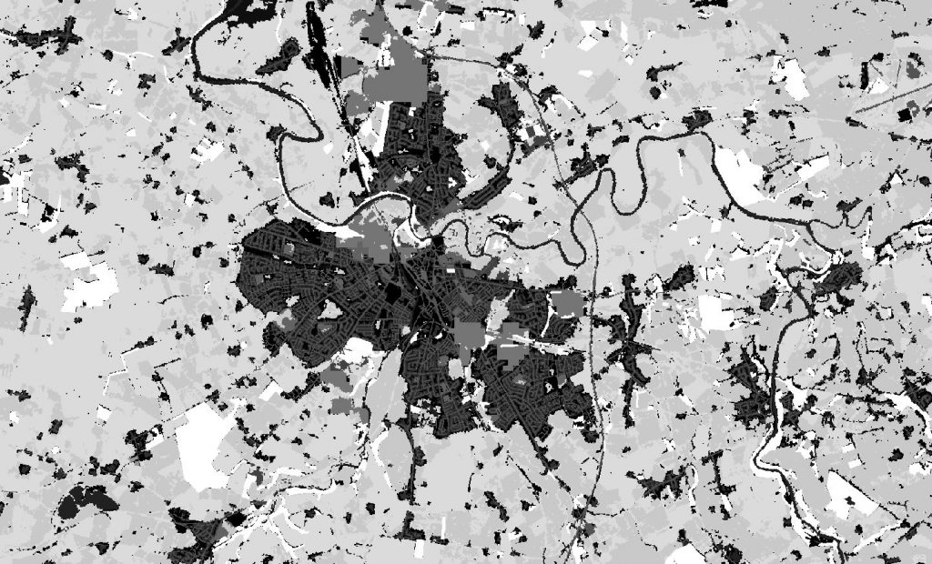
Maploom undertook a large scale geospatial data collation and processing project to deliver 10m resolution datasets for 17 different land use classes for the UK based on Open Data including European Environment Agency, Ordnance Survey, Ordnance Survey of Northern Ireland, Centre for Ecology and Hydrology, EuroGeographics and Office for National Statistics. The datasets were combined using EEA’s prioritisation matrix in order to deliver a single land use layer for the United Kingdom.