
We are delighted to announce the launch of the Maploom App, part of a wider suite of tools delivered via the Maploom platform. Maploom is free for non-commercial use (with some restrictions) and provides easy online access to mapping data and tools. We offer additional functionality and commercial use when you register and via our paid services which work on a Pay as You Go basis.
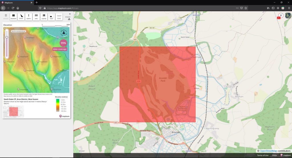
Starting with Terrain, we are offering a range of online datasets and mapping tools that let you easily create and export bespoke map products for your site.
Features
- Access a variety of terrain data for your site online, in real time
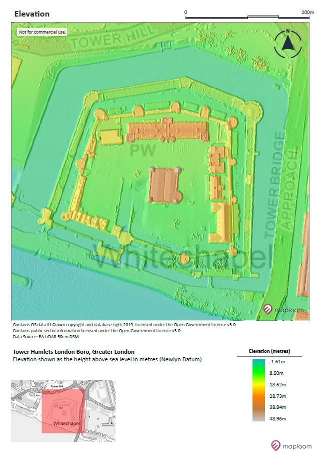
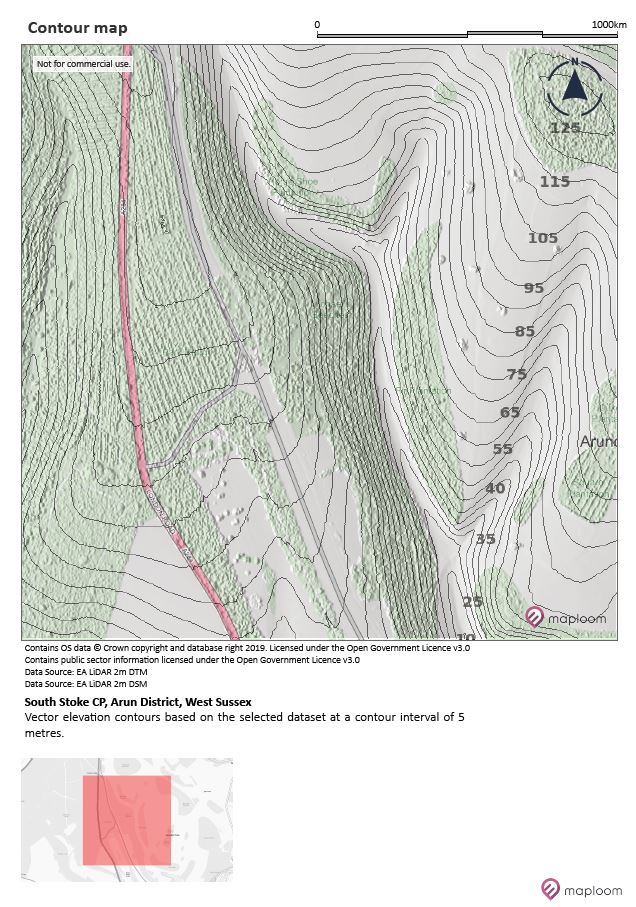
- Generate maps of height, slope, aspect, contours and hill-shaded relief
- Include or remove surface objects, such as trees and buildings (LiDAR)
- Flexibility to change inputs (data and some parameters)
- Highly detailed – Environment Agency LiDAR data for England at 2m, 1m and 50cm data point spacing (25cm coming soon for limited areas)
- ASTER GDEM terrain at 30m data point spacing
- Export the map as PDF.
- Export images for insertion into documents.
- Export data for use in modelling, CAD and mapping systems (GIS).
- Process up to 64 sq km, 6,400 ha. Larger areas available by request.
Benefits
- Direct access to data and tools
- No expertise needed
- No expensive mapping software needed
- No need to download and stitch together data
- No ongoing data management required
- Flexible Pay As You Go pricing
- Clear documentation for the datasets