
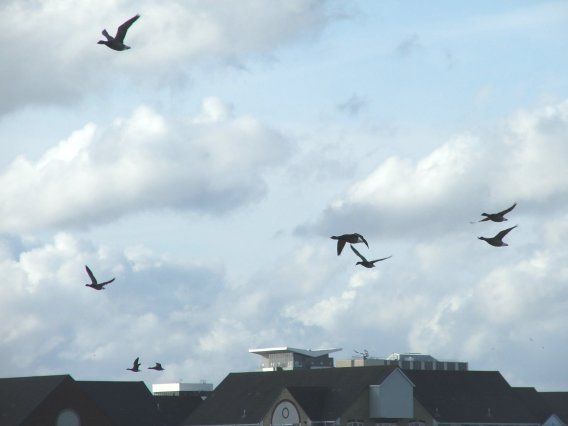
Maploom was recently awarded a contract let by Southampton City Council to study wetland bird flight paths around the city. Combining our environmental mapping expertise with ecological expertise from Wild New Forest and Lullula Ecology, the project will analyse potential risks from building collisions by the city’s bird species, primarily waterbirds protected under the Special Protection Area (SPA) designation.
Our team of experienced birders is conducting point surveys over the winter from various sites around the city in addition to night-time surveys using thermal imaging equipment and sound recording.
The aim is to map where the birds fly (and how high) at different times of day and under different tidal and weather conditions and to create ‘heat maps’ showing the most frequently used routes. These flightpaths will then be compared with the building landscape mapped from Environment Agency’s laser scanning data (LiDAR) to see where there may be a potential collision risk.
This information will be used in consideration of the City’s new local plan and for assessment of planning applications in relation to potential risks from future tall buildings.