
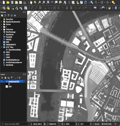
Export terrain and basemap data for onward use in CAD, GIS and Modelling packages. Data is provided as a “stitched” coverage so there’s no need to waste time joining tiles together.
Export terrain and basemap data for onward use in CAD, GIS and Modelling packages. Data is provided as a “stitched” coverage so there’s no need to waste time joining tiles together.