
Digital terrain data, satellite images, thematic maps, geocoding and more. There’s no need to search for data or fight with formats and composition. We handle all these messy processes for you.
Our services are built on a set of curated map datasets derived from Open Source data and we keep them up to date so you don’t have to. We also draw on a range of commercial datasets where needed to fill gaps, and to provide even better and more up-to-date information.
We also offer secure data hosting and data management services for several of our clients and have built highly tuned databases and map services, which will out perform most conventional online offerings.
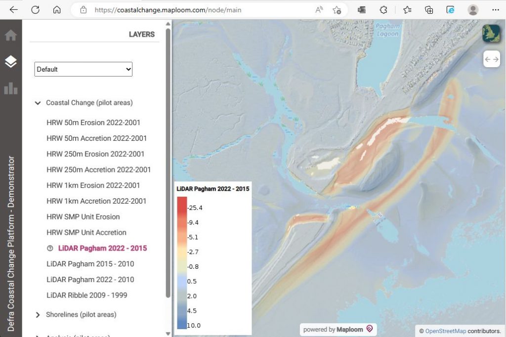
Image: Environment Agency LiDAR (1m) digitial surface model (DSM). Contains public sector information licensed under the Open Government Licence v3.0